Aerial photography
Drone photography, for a survey or to see a place from above.
The shots can become the base for a photomontage: your project placed into an aerial photo of the real site. I’m an ENAC-certified drone pilot for the A1 and A3 subcategories. I work from Cecina, in Tuscany.
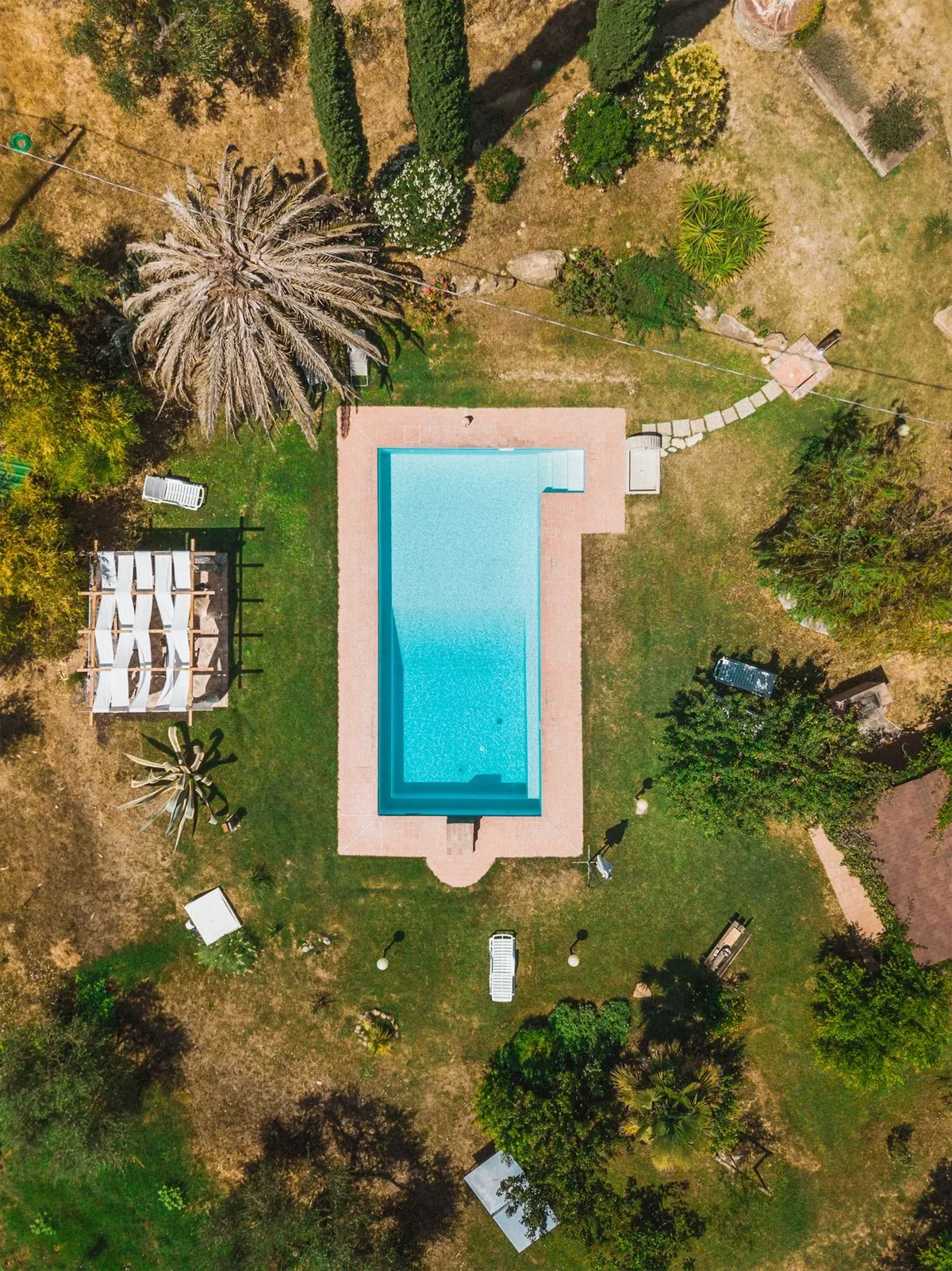
A place seen from above
A winery estate in Suvereto, and a house placed into an aerial photo of its neighbourhood.
-
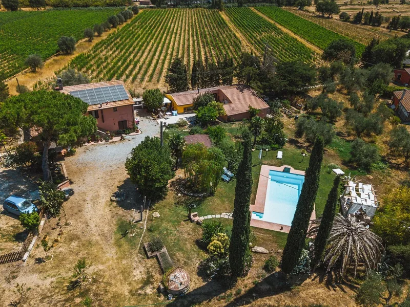
Colle Vento2023The estate from above
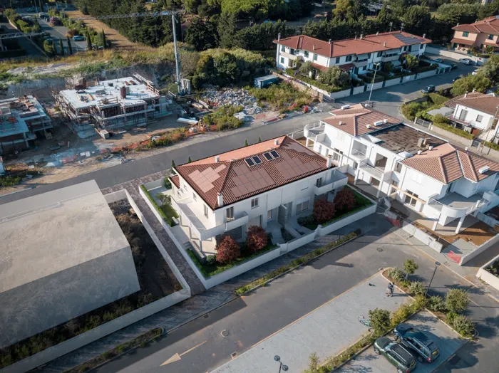
Casa LorenziAerial photomontage
Questions about aerial photography
What certification do you hold?
An ENAC drone pilot certificate (ENAC is Italy’s civil aviation authority) for the A1 and A3 subcategories.
What are aerial photos used for?
For a survey, or to see a place from a different angle. For Colle Vento I photographed the estate and the pool from above, alongside the photos of the winery and the vineyard.
Can drone photos be used for a photomontage?
Yes. I place the 3D model into the aerial photo, with the same light and the same perspective, so you see the finished project where it will actually stand, like Casa Lorenzi in the photo of its neighbourhood.
Do you take ground-level photos too?
Yes. For Colle Vento I photographed the winery, the vineyard and the spaces around the estate. For Etruria Wellness I directed and shot the photo shoot, in the studio and on the beach.
How much does it cost?
I don’t have a price list: every project gets its own quote. Once we’ve talked it through, I’ll send you the stages, timings and costs, with what’s included and what isn’t.
(Need a place seen from above?)